A relationship between researchers on both sides of the border sheds light on the impacts of a dam project on the Mayo River, particularly on the Guarijío indigenous people residing in the foothills of the Sierra Madre.
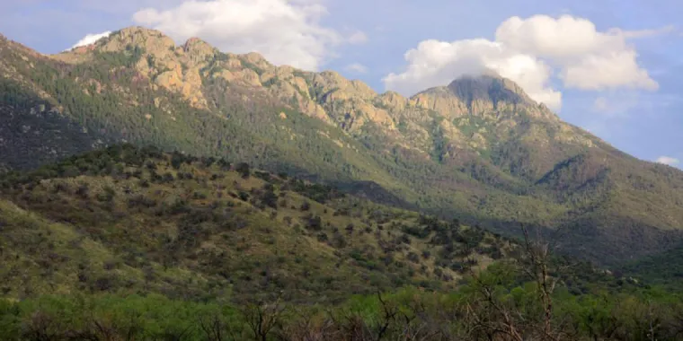
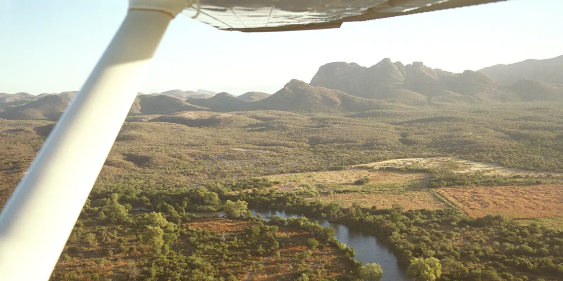
The Guarijío people live in the southwest corner of Sonora near the border of Sinaloa, where the foothills of the Sierra Madre fold into the coastal plain bordering the Gulf of California. It’s a striking landscape, one that lies semi-arid for parts of the year and then erupts into a tangle of verdant vines and tropical overgrowth after the summer rains and the Pacific cyclones soak the Rio Mayo. The Guarijío have occupied the remote reaches of this land for hundreds of years, having fled to the foothills to escape the Spanish colonists.
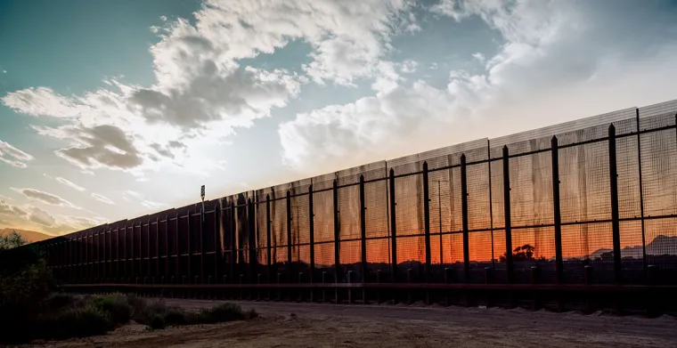
These days, however, their hold on this land — their culture, their livelihood, their way of life — is being threatened due to an infrastructure project known as the Los Pilares dam on the Rio Mayo.
UArizona’s Jeffrey Banister, director of the Southwest Center and associate research professor in the School of Geography and Development, knows this threat well. He has been working to share the efforts of his friend and colleague, Dr. Teresa Valdivia Dounce of the National Autonomous University of Mexico (UNAM), who has fought alongside the Guarijío to stop the construction of the dam. It’s a fight that has pitted many in this impoverished indigenous group against corrupt governmental foes — a fight that has spurred death threats for some of those opposed. As the Los Pilares dam nears completion, we chatted with Banister about the Guarijío’s plight — and about what that plight represents for Mexico at large.
Revista: You lived in nearby Alamos and the coast of Sonora for four years, and then returned while researching water politics for your dissertation — you understand the Los Pilares project well. Tell us who is pushing for the dam and why.
Jeffrey Banister: A dam was built on the river for the Lower Mayo irrigation district in the mid 1950s. Around 2010, people started pushing for a second dam on the Mayo, as every few years the district gets terrible floods. There also isn’t enough water in the district for the amount of land they’d like to be under cultivation. The thinking, then, is that the second dam will allow them the storage capacity and water control to avoid the flooding.
It’s a pretty typical story in the big irrigation districts in Mexico that there are a handful of small interests running the show: the national water commission, the water users’ association, big ag. These infrastructure projects are typically big pork-barrel projects: lots of money for contractors, lots of kickbacks, etc.
Revista: A similar situation arose in the 1950s?
JB: It did. Then, in the 1970s, my colleague and friend Teresa Valdivia Dounce went to the Guarijío territory with the National Indigenous Institute as a young anthropologist and activist. She helped them get their land back — it really took someone from the outside who was literate in the way she was literate to push through the bureaucratic red tape. And so here we are again, decades later: The new dam will flood out a large portion of the same communities that the government ceded back to them in that land struggle. Teresa and some other allies who’ve been visiting the Guarijío all of these years have continued helping them through the formal channels, trying everything they can to stop this.
Revista: Have they experienced any success?
JB: It went all the way to the Supreme Court and the court basically ruled against it, but they kept building it — at this point, it’s about 85 percent complete. The head of the national water commission ended up at a meeting in the Guarijío country to talk about what was happening with them, and surrounding this meeting were what you might call sicarios, standing around with automatic weapons — that’s how crazy it’s gotten. They’re on the side of the group who wants it to go through — at this point, it’s going to happen.
Revista: And what will happen when it’s 100 percent complete?
JB: The Guarijío’s agricultural practice is based on a tradition of floodplain farming, meaning that it’s not only based on locations near the river, but on the rhythm of the river. With the dam, that will disappear for a lot of these communities. If the dam gets full for any length of time, it’s going to create a dead zone of all the vegetation around it, flooding out at least two or three of their communities. It will flood their cemeteries, their hunting sites. Their livelihood possibilities are going to be limited, and they’re already right there on the edge. It’s a major threat to their culture.
Revista: Were the Guarijío people consulted before construction began?
JB: The government has been saying all along that they had consulted with the Guarijío when in fact their community was almost entirely against it. And then officials started to go in and mess with the Guarijío’s governing structure to take out part of that structure and put in leaders who were friendly to the state government. It’s been some of the nastiest politics I’ve ever seen, and I’ve been working in Mexico for some time.
Here’s an example: The company that completed the first environmental impact study took another impact statement from a project in the state of Veracruz, a thousand miles away, changed the place names and then submitted it as the one for the Los Pilares project. To me, that speaks to how little they think of the indigenous peoples — they think of them as dirty, poor, illiterate. Not everyone has that view, of course, but it’s a structural, institutional racism that’s happening here.
Revista: Is what’s happening in the Guarijío territory illustrative of a larger problem across Mexico?
JB: Most of the people who own or have in their control large swaths of territory are people who are either indigenous groups or people who are in ejidos, which were formed after Mexican Revolution. It’s a significant portion of Mexico’s territory — they’re in control of some of the most biodiverse and sensitive lands in the country, and these also happen to be parts of the country where people want to put in dams, mines, etc. So indigenous people are right on the frontlines of fighting these projects — and to fight one of these projects right now means you are risking your life.